Tuesday, May 18, 2010

Mt. Work Regional Park 20/32 weeks


FINALLY! We arrived at the summit of Mt. Work for our 20th hike of 2010! This hike has been on our radar for awhile; we have been too chicken. We confessed this to our friend Andrea, telling her the reason have never hiked Mt Work may be that we are too scared. She playfully replied that she HAD hiked Mt Work and she was too scared to go as well.
Our friend Fred, Andrea's husband who passed away in January, always told us that Mt.Work was the hike to experience on this part of the island. We'd like to plan a Phred Memorial Hike in July and chose this hike so that we can be more informed for decision making. So if you missed this outing  we will be hiking Mt Work again on July 18th.
At the trail head we were met by runners coming back down the trail at 58 minutes round trip. As they turned to head back up again, we were steeled by their resolve. How hard could it be if these people were running the trail twice?
The summit of 450 m is the highest elevation around and within the first 20 minutes I regretted not stretching out my lower legs.  Mt Work has only one trail to the summit which continues on to a parking lot on Munn Road. Because of this the park has a slightly crowded feel, passing a few fellow hikers both going up and coming down. So it was a mild surprise that we had the summit to ourselves while we relaxed, refreshed and prepared for the descent. At a leisurely pace we were an hour and twenty on the 2.5km summit trail. It took us about forty minutes to walk down. Next time we plan to hike the length adding the additional 4km round trip to the Munn Road parking lot.

We are just getting started and the morning light was beautiful.

A weathered arbutus at the top.
This curious little alpine flower has a mysterious red dot on the bottom petal. Anyone familiar with it?

Hannah capturing the image of the flowers on a rock wall.
Jenny, Hannah and Marlen taking a breather just shy of the top.

Mowgli the hiking wonder dog has missed only one hike so far.
You have to be a pretty good juggler to practice on a  mountaintop...

because who is going to chase them downhill if you miss one?

Mowgli, Hannah and Jenny
kinship

Relaxing at the top...

The little dip to the right shows Brentwood Bay in the distance.
All of the literature surrounding Mt Work advises that one should take precautions when attempting to hike this park. Those who hike it often would laugh and reply that it is no big deal. It is no big deal. A three hour round trip and no need for special equipment. That is if you stay on the trail and no one gets lost or hurt. Mt Work is a monadnock, the tough rock formed out and left behind a glacial passing. Parts of the trail resembled canyon walls and we wound around rock and a once found a cleft in the rock itself. Off trail it is easy to get turned around and this terrain can be dangerous in the dark. Give yourself plenty of time. Not because it will be all that keeps you safe. But because once you make it to the top you deserve to relax and take in the fresh air and the vista. Take a look to the east and see the chain of islands across the Strait. At this elevation it becomes more obvious that this is part of a peninsula surrounded by the Strait of Georgia down to Finlayson Arm to the west.
What will I do next time? I will pack extra socks because while it felt wonderful to be barefoot at the top, putting sweaty socks back on almost ruined it. I would also pack binoculars. There is alot to see at the summit.
Next week: Bear Hill; the rugged back trail off Brookleigh Rd.

Sunday, May 16, 2010

Oak Haven Park 19/33 weeks


Happy Mothers Day from the top of this Gary Oak sanctuary. Mark and I have already hiked Oak Haven Park in our 52weeks commitment but chose it because it is close and Sunday was such a beautiful day to climb it with our friends. We were joined by Marlen and Andrea, as well as our daughter Hannah and her friend Rob. Rob inspired us later in the day when he said that he has never regretted going on a hike. He has, however, experienced regret for wasting the day on the computer or watching tv.


 Of course we love this park. Its right up the road from our house on Benvenuto, the road to Butchart Gardens.  Really, whats not to love? It has it all; shade, sun, inclines and level trails, gorgeous views and cozy little meadows. We used the parking lot as the trail head then came back down by way of the lane that leads to Garden Gate rd. Once there, we followed the sidewalk to the right and out of the subdivison onto Benvenuto. There is a wooded path that leads back up to Oak Haven parking lot if you turn right again at the stone gate.

The lane leading to Garden Gate Rd.
The very definition of idyllic.

Hannah and her sidekick, Mowgli.

Marlen; serene.
Next week: Mt Work

Monday, May 3, 2010

Logan Park 18/34 weeks

We look as if we are sitting at a slant; I think its the tripod.
We have been trying to hike Logan Park for a few weeks. I think the main attraction for me is the sweet little  road the park sits in the middle of. It would be great to have a small farm there. It seems as if all owners were told to plant lilacs. There is a healthy lilac bush at almost each driveway.  Today we finally got there for a relaxing hike.
All I can find online is this is a Saanich Park and at 6 hectares so it is a cozy 15 acres. The park reminded me of Butterfeild Park, our 13th hike. They are both small and exceptionally green. Both have well kept trails running around and through them.

Its just a wee little park at the side of the road.


Wayne's parents are great fellow hikers who are up for any adventure.
Mark is telling Marlen about Friday when he looked up in the garden to see an eagle bearing down on him.
This is a small enough park that we turned around at the end and hiked it in the opposite direction. There is always something else to see going the other way. It is nice to experience these smaller parks. The pace automatically slows and there is time to enjoy the company and conversation of friends.

Speaking of friends...here is our newest, Anna.  Good natured and tolerant, it was a treat to meet her and her traveling companion.
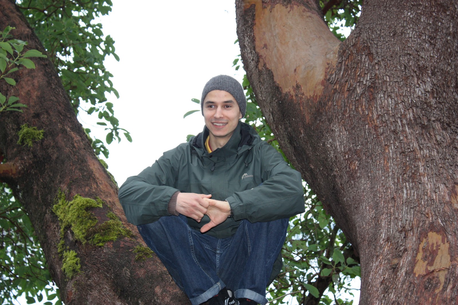
Another perk of the small park; time to climb trees.
Viaduct road runs off of Interurban between Camosun College and Glendale Garden's Quayle road. It is a peaceful place at the side of a quiet stretch of rural farmland. If you are out that way dont hesitate to stop and go for a walk. The trail is well groomed and soft with cedar chips making special shoes unnecessary. There are a couple of small inclines that could present problems for people with mobility issues but, having said that, I recommend this park to everyone.  The transit system has a turn around just at the corner of Viaduct and Interurban but it is a far walk to the park from there.
Next week: Happy Mother's Day from Oak Haven Park

Thursday, April 29, 2010

Cowichan River Footpath 17/35 weeks


 This week represented my last free Saturday before the beginning of Moss St. Market. For those of you who don't live on this part of the island Moss St. Market is the hippest organic farmers market in Victoria. I co-host a booth for chair massage and absolutely love it. So, I will be there as many Saturdays as I can this season. If you go, pop in to see me and let me know that you have seen the blog. I might just be excited enough to give you a deal on a great massage.
This picture of sleepy Lake Cowichan as seen through the opening on a rusty foot bridge.
Mark and I used this weekend to head up Island to a hiking place that we wouldn't normally be able to visit on a Sunday. Lake Cowichan is a village at the base of Cowichan Lake and almost the mouth of the Cowichan River. It is almost 2 hours from our house so we drove up Friday night, stayed over and spent Saturday exploring the area.
We are completely enchanted by the area. One of the first things we noticed, besides the surrounding mountains, was how mossy the trees are. It gives a distinct clue that you have entered the rain forest. When I ventured out that rainy Saturday morning for coffee the lady who served me laughed about the weather and told me, "This is the rain forest...we never check the forecast. Why bother?" So, if you plan to visit pack your rain gear because I can almost guarantee that it will be raining part of the time. Our Saturday dawned rainy but the skies cleared up after 10 am and we had only light sprinkles after that. The trees hold an incredible amount of moisture so every time I brushed up against something my jacket got soaked; not enough to dampen our spirits though.


Cowichan River

So, this is where Mother Nature keeps her Q-tips.

A calm bend in the river. This illustrates the elevation of the footpath in places.

We began our trip along an old reclaimed railway system that was built for narrow gauge trains to run timber out of the dense forests. As such, it is a level trail suitable for walking or biking and in some places horses are allowed. It was never our intention to hike the extent of the footpath on this visit because it is quite long for a day trip at 20km. We ended up spending most of our time at the Cowichan River  provincial park and it was here that we hiked the loop from Skutz Falls to the trestle bridge and back along the river. Mark and I were never out of sight of the river and always keenly aware of its beauty and danger.
We had to remind ourselves not to think about the time our kids came tubing on this river. They were yelled at to get off the water by an extreme sports show film crew. Apparently, the water was simply too dangerous for extreme sport lovers but my kids tried to meander down the river anyway. It is one of those parent moments that make you thankful your kids dont tell you everything!


The path that wound alongside the river was narrow but well kept.

Rocks playing hide and seek.

You can hear the falls from quite a distance.
 Many hikers treat the Cowichan River Footpath like a small West Coast Trail by coming on at the trailhead and camping along the way.  This is allegedly a fisher's dream but we didn't cross paths with any anglers. I suppose in the summer there are many trying for trout and even salmon at certain times. We only met people at the trail heads. Once we were on the trail itself we saw no one. It was a relaxing hike and one I would be excited to go on again. Perhaps this summer we will plan an overniter again and hit the trail early; with rain gear.


We hiked into a clearing and stumbled onto this beautiful group camp site.

This was taken at a very low spot on the trail. Most places soared above the river on steep embankments.

Next week: Logan Park

Monday, April 19, 2010

Mackenzie Bight 16/36 weeks

This is our second hike to Mackenzie Bight. Time constraints forced us to consider something very local this week and it doesn't get more local than the Gowlland Tod range. Our last few outings have been pretty easy so we headed back to the bight for a vigorous hike.We decided to take the falls trail down and the bight trail back up; the opposite of our last visit here.We might have come to an unspoken decision that this will be our 'default' hike. Its close, varied and if you hiked this park until you could walk to the top without running out of steam, you would be in pretty good shape.

We were all SO happy to be outside.


yes, this park does inspire a certain amount of respect.

Once we discovered that we had taken the Mackenzie Bight trail down again, we tried the bottom trail that heads north along the inlet. The CRD maps show the trail as ending at the boundary of the park. It is a beautiful hike and we took it to the end which was a small bluff of trail and a deer path running into the thicket. It would appear that a person could walk this path all the way to Butchart Gardens and beyond. We will save that for another day when we are needing a workout.
I cant say enough about how pleasant this park is. I realize that is a far cry from my last experience of Mackenzie Bight but it is a matter of experience. If you know this is a 'breathtaking' hike up from the bottom then you prepare yourself. And in the mean time enjoy a pristine environment with pathways that can take you right down to the water and stunning views of the Malahat mountain and highway. Still the only hard road linking Victoria to the upper island it was once a rough trade route for the First Nations people who gave it their name.


The path running north along the shoreline makes for easy walking.
The park drops down to the water so in some places the ascent can get your heart rate up.

Jessica at the waters edge.
Marlen in a magnificent arbutus

The girls are examining the patterns left on leaves by parasites.

The Malahat lies just across the water.

Next week will be our first double header. One of the objectives of the 52 week committment is to get out and enjoy the island more. Mark and I will be heading up to Cowichan River to hike the footpath to Skutz Falls. Sunday morning we will hike Logan Park.

Wednesday, April 14, 2010

Viaduct Flats 15/37 weeks


Marlen, Mark, Rae, Andrea, Alisa and me.
It would appear as though Vancouver Islanders enjoy their dual purpose hiking trails. This is our 15th hike of the year and now the third trail which turns into a completely different hiking experience about half way through. Im sure there have been many others, but the ones that come to mind are Durrance Lake and Island View Beach.
Viaduct Flats is part of the larger Pacific Horticulture college and lies between Interurban St and the back of Glendale Gardens. It is a beautiful setting and one of the best places to birdwatch on this part of the peninsula. There is a sturdy raised platform with local bird information as well as a powerful telescope in case you forgot your binoculars. It is not easy to get online information about Viaduct Flats so I havent found a map of the trails that I could consult. Also, the trail maps in the park itself are faded and difficult to read.

We ventured off on the obvious trail headed due south along Interurban.
As part of the old Vantreight Farms, there are still daffodils in abundance. Glendale Gardens is in the background.


It is easy to get off track on this trail. It heads south to the Technology Park and Camosun College campus. We stayed on trail past the Park road and turned at the ball diamond. We followed the natural curve around the building and back to the roadway. At this point we veered back onto a trail that looked more like a horse path than a walking trail. It was narrow and muddy but twisted along through thick forest, giving us something to see no matter which way we looked. We eventually ended up back on the grassland path and that brought us back to the marsh. There is no loop around the marsh in this park, just up to the college and back on the other side of the field. I suppose that is one of the features that makes it such a great bird habitat. Hikers can never get close to the water.

Look at the tallest tree sticking up from the woods on the right. At the treeline there is an eagle's nest.

Here is what I saw when I zoomed in for a closer look.

I didnt realize the egret was on the shoreline until later.

Next week: Logan Park

Monday, April 5, 2010

Island View Beach 14/38 weeks

We ARE having a good time, really. Its just hard to smile into the wind.
It has been a long time since we have experienced a windstorm like the one that hit the island and lower mainland early this weekend. It had pretty much blown itself out by the day of our 14th hike but it was still interesting to be on the water. Island View park is a strip of beach and marshland that runs along Haro Strait in Central Saanich. The island that can be viewed from here is James Island, hugged by Sidney Island. A friend told me that this little island is allegedly owned by Bill Gates. With no confidence in my research skills to uncover that paper trail, I will just admit that it is a rumour. It is a beautiful island to look at regardless of its ownership.

Our own version of the white cliffs of Dover; James Island

We took the recommended hike north along the beach and back through the dunes. It was a fairly windy morning and the kite surfers were showing up for the day. I asked one about his methods for controlling the kite in such strong wind and he told me the size of the kite varies for the wind speed. On a day like Sunday they were bringing the smaller sails. I had to admire them. The guy in the picture reached a top speed that would have been scary in a boat, much less skimming the water on a small board.


I meant to take more photos of these brave individuals.
The park sign states that these logs are to remain in place to help preserve the shoreline.
All of the beach walkers were entertained by this
dog's insistence that his stick was just the right size.


Recognize the name 'Douglas'? On a previous week we climbed to the top of the erroneously named Mt.Douglas. It was named for this same, very busy forefather of BC.
We walked north on the beach and turned inland to the trail that would lead us back to the parking lot. It was difficult to tell where the First Nation's property actually was but we figured that we might be on the wrong trail for only a moment. The best course of action is to conduct yourself respectfully at CRD parks as well as on First Nation's land. If your intention is to not harm and to experience the beauty of an area without leaving an impression of yourself then I think we might be forgiven for stepping off course.


It seems like two very different hikes; the shoreline and the trail back.
I was happy to hike Island View Beach and especially on such a dynamic day. This is a park that our friend Jessica goes to a few times a week and I really missed sharing that with her. Hopefully she will be able to join us again soon.
Im looking forward to hiking Island View in the evening. Sunday was a gorgeous day and a welcome relief from the endless wind of the previous two days. It would be good to look out at the water with the sun behind. We were at the park for a very relaxing two hours and heres hoping everyone slept as well as I did that night.